
The vote that most parents missed
On Friday, 4 September 2026, the United Nations General Assembly adopted a resolution called “Correct the Map”. It was introduced by Togo on behalf of the African Group—all 54 African member states—and co-sponsored by the Bahamas, with the backing of the African Union.
It passed by 164 votes to one. Six countries abstained: Estonia, Georgia, Lithuania, Moldova, Serbia, and Ukraine. The United States was the only country to vote against, with its representative describing the resolution as an ideological distraction.
The resolution does not ban any map. It encourages governments, schools, media, and international institutions to adopt equal-area projections—particularly the Equal Earth projection, designed in 2018—which show countries at their true relative sizes. France has already announced its foreign ministry will stop using Mercator.
It sounds technical. It is not.
What the old map actually does
The map most of us grew up with is the Mercator projection, drawn more than 450 years ago. It was built for a specific job: helping sailors hold a straight compass bearing across an ocean. For that job, it works beautifully.
For showing how big places are, it fails badly. Flattening a sphere onto a rectangle means something has to stretch, and Mercator stretches everything near the poles while compressing everything near the equator.
The results are startling once you look:
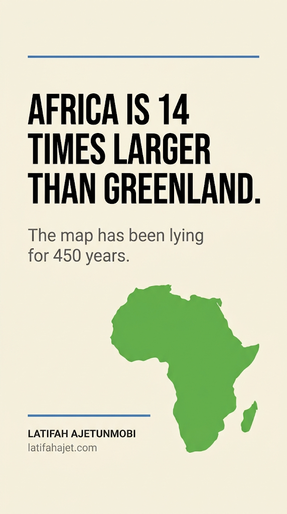
- Africa appears roughly the same size as Greenland. Africa is about 14 times larger.
- Africa covers around 30 million square kilometers—the United States, China, India, Japan, and most of Europe fit comfortably inside it.
- Countries in the far north appear enormous. Countries on the equator appear modest.
A map built for navigation quietly became a map used for teaching. And for four and a half centuries, it has been teaching children something nobody ever said out loud.
Why this belongs in a conversation about parenting
Children do not form their sense of self through formal instruction. They form it through repetition and atmosphere—through what is on the wall, what goes unquestioned, and what everyone around them appears to already accept.
A child sits in front of a classroom map for years. Nobody tells that child that Africa is minor. The map does it silently, every single day, and silence is far harder to argue with than a sentence.
For diaspora children this compounds. They are already navigating a question their parents often did not face at the same age: where do I actually belong?
“Go back to your country.”
Many diaspora children have heard some version of this. Born in Britain, Canada, or the United States. Holding the passport. Carrying the accent. And still told to leave.
What happens next in the home matters enormously, and this is where I see the Communication Cascade begin.
Stage one — Invalidation. The child reports it. A tired parent says, “Ignore them; it’s nothing.” The intention is protective. The message received is: this feeling is not worth discussing.
Stage two — Suppression. The child stops mentioning incidents like this.
Stage three — Withdrawal. Having learned that identity is not a topic in this house, the child gradually reduces what else they bring home.
Stage four — Migration. The conversation goes somewhere else—a group chat, a comment section, an algorithm. Someone will always be willing to explain your child to your child.
Stage five — Severance. The parent becomes the last to know anything.
Many parents come to me at stage four or five and describe the problem as a phone problem. Very often it began years earlier, in a moment where a child needed language for their identity and the adults in the room had none to offer.
About the name “Africa”
You may have seen posts claiming the continent’s original name was stolen and replaced. The most common version names “Alkebulan” as the pre-colonial name. It circulates widely, including in books and on well-known sites.
The evidence does not support it. There is no attestation of that name in ancient sources, and the word itself appears to be Arabic in derivation which sits awkwardly with the claim that it is indigenous and pre-colonial.
The documented history is more interesting anyway. “Africa” most probably derives from the Afri, a people living around Carthage in present-day Tunisia—likely from the Amazigh word ifri, meaning cave, or the Phoenician afar, meaning dust. After defeating Carthage in 146 BCE, Rome named its new province Africa, meaning the land of the Afri. Only much later did that single province’s name expand to cover an entire continent.
So the root of the word is African. What colonisation did was not invent a name — it flattened thousands of them.
Because before that word spread, this land held Kemet and Kush and Aksum. Oyo, Benin, Nri, Kanem-Bornu, Wagadu, Great Zimbabwe. Each one named itself. Each name meant something.
That is the loss worth teaching your child: not one name replaced, but thousands compressed into a single word so that the rest of the world never had to learn the difference.
And it is why teaching accurate history matters more than teaching satisfying history. A child armed with a disputed claim can be dismissed the moment someone checks. A child armed with the documented record cannot.
Five things to do this week
- Print an Equal Earth map and hang it where your family eats. Say nothing. Let them notice.
- Teach one specific origin, not a continent. Your surname, your town, your grandmother’s language. “You are Yoruba, from Ogun State” lands differently to “you are African.”
- Give them a line for the playground. Something plain and unbothered: “I have two homes. I’m not giving either one up.” Rehearse it so it is ready before it is needed.
- Ask a question you do not know the answer to. “What do people at school think about where our family is from?” Then let the entire answer finish before you respond.
- Check what you share. If you post heritage content, verify it. Your child is watching how you handle truth, and that lesson outlasts any fact.
The wider point
A map is a small object with a long reach. For 450 years one particular map has told children in every classroom on earth a quiet untruth about proportion and importance, and 164 countries have now formally acknowledged it.
You do not have to wait for your child’s school to catch up. The wall in your home is yours.
Connect. Understand. Thrive.